Water Levels
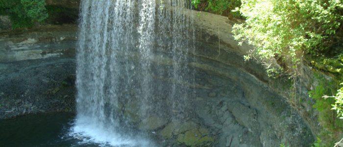
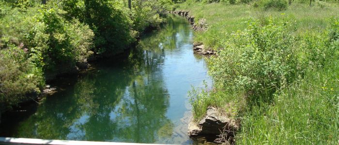
Water level information is collected for both the Kagawong River (at the sluiceway immediately upstream of Bridal Veil Falls) and Lake Kagawong (at the stilling well):
The tabulated data and graphical data for both the River and Lake are for the current and previous calendar year.
Note water levels are taken between 11 a.m. and 1 p.m.
Flows
The Kagawong Hydroelectric G.S. utilizes waters from Kagawong River to generate electricity. Flow is diverted from the river through an intake structure. A penstock (pipe) conveys the water to the turbine in the powerhouse downstream of Bridal Veil Falls. All flow diverted from the river for generation use is returned to the river downstream of the plant.
A continuous minimum flow of 0.40 m3/s is maintained over the scenic Bridal Veil Falls throughout the year. This is done by directing water through one or more of the three sluiceways upstream of the falls.
The following tables provide information about the flows through the station and over the falls for the current and previous calendar year.
To see Plant flow versus Head and Power data, click here.
To see Plant flow data, click here.


